Geographic and HD Maps
HERE HD Live Map data import, streaming geographic map data display, coordinate conversion
You can read and visualize high-definition map data from the HERE HD Live Map (HERE HDLM) web service by using ahereHDLMReaderobject. You can then use this data to develop localization or other driving algorithms.
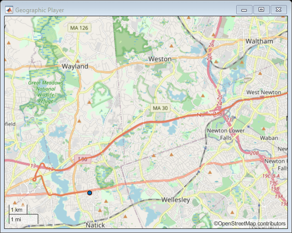
To stream geographic coordinates from driving routes on maps hosted by MathWorks®or on maps from other providers, use thegeoplayerfunction. You can also convert between geographic coordinates and local coordinate systems.
Functions
Topics
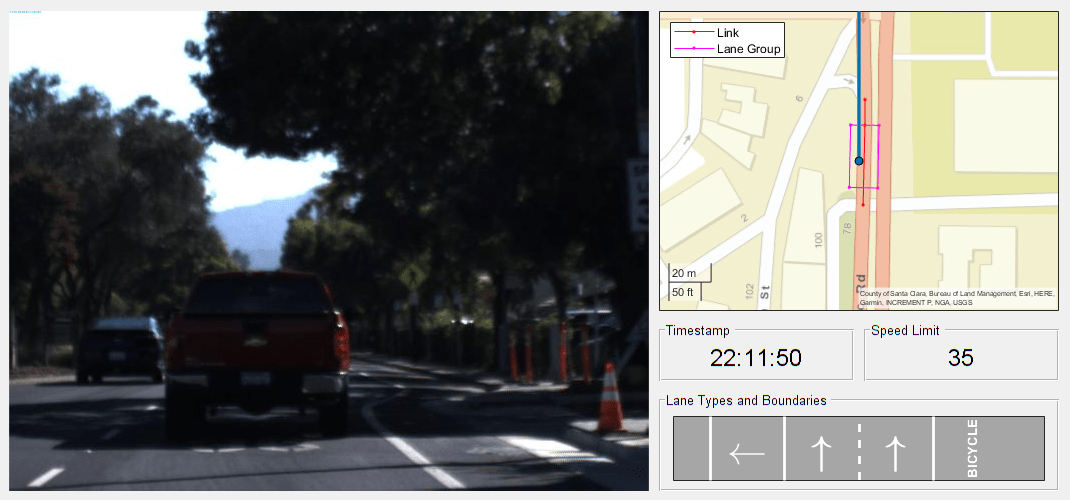
- Read and Visualize HERE HD Live Map Data
Read and visualize highly accurate map data for use with automated driving applications.
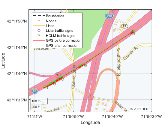
- HERE HD Live Map Layers
The HERE HD Live Map web service provides tiled map layers containing detailed road, lane, and localization information.
Featured Examples
You can also select a web site from the following list:
Americas
- América Latina(Español)
- Canada(English)
- United States(English)
Europe
- Belgium(English)
- Denmark(English)
- Deutschland(Deutsch)
- España(Español)
- Finland(English)
- France(Français)
- Ireland(English)
- Italia(Italiano)
- Luxembourg(English)
- Netherlands(English)
- Norway(English)
- Österreich(Deutsch)
- Portugal(English)
- Sweden(English)
- Switzerland
- United Kingdom(English)